Mapping our World
Expectations for Learning:
1. I CAN use appropriate maps, globes and geographic tools to gather, process and report information about people, places and environments.
2. I CAN explain that maps are created for specific purposes and represent the context in which they were created.
1. I CAN use appropriate maps, globes and geographic tools to gather, process and report information about people, places and environments.
2. I CAN explain that maps are created for specific purposes and represent the context in which they were created.
|
There are almost limitless types of maps, but a few main categories we will use in this class:
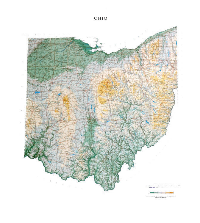
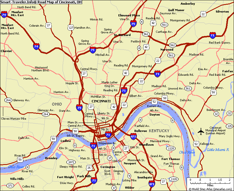
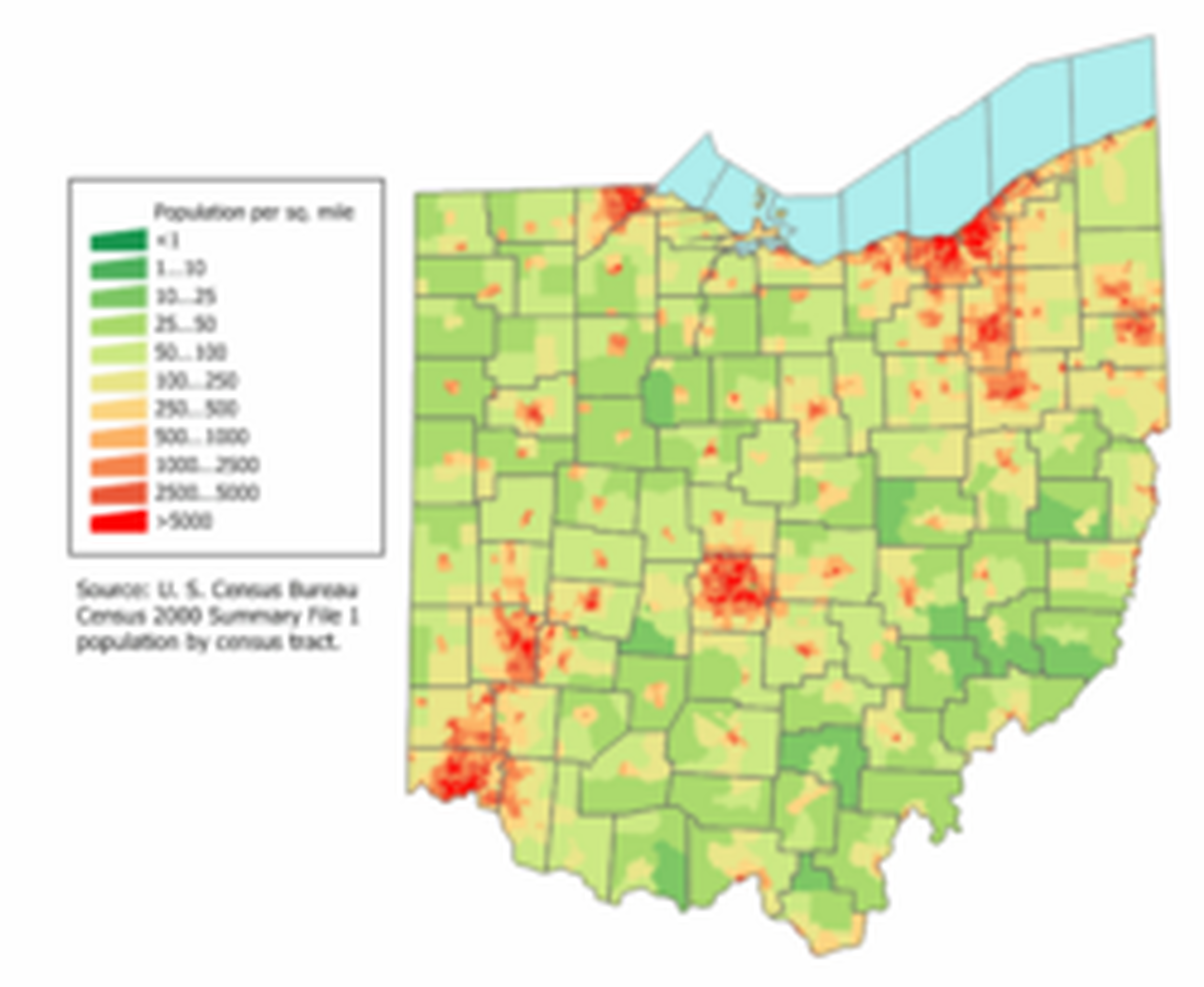
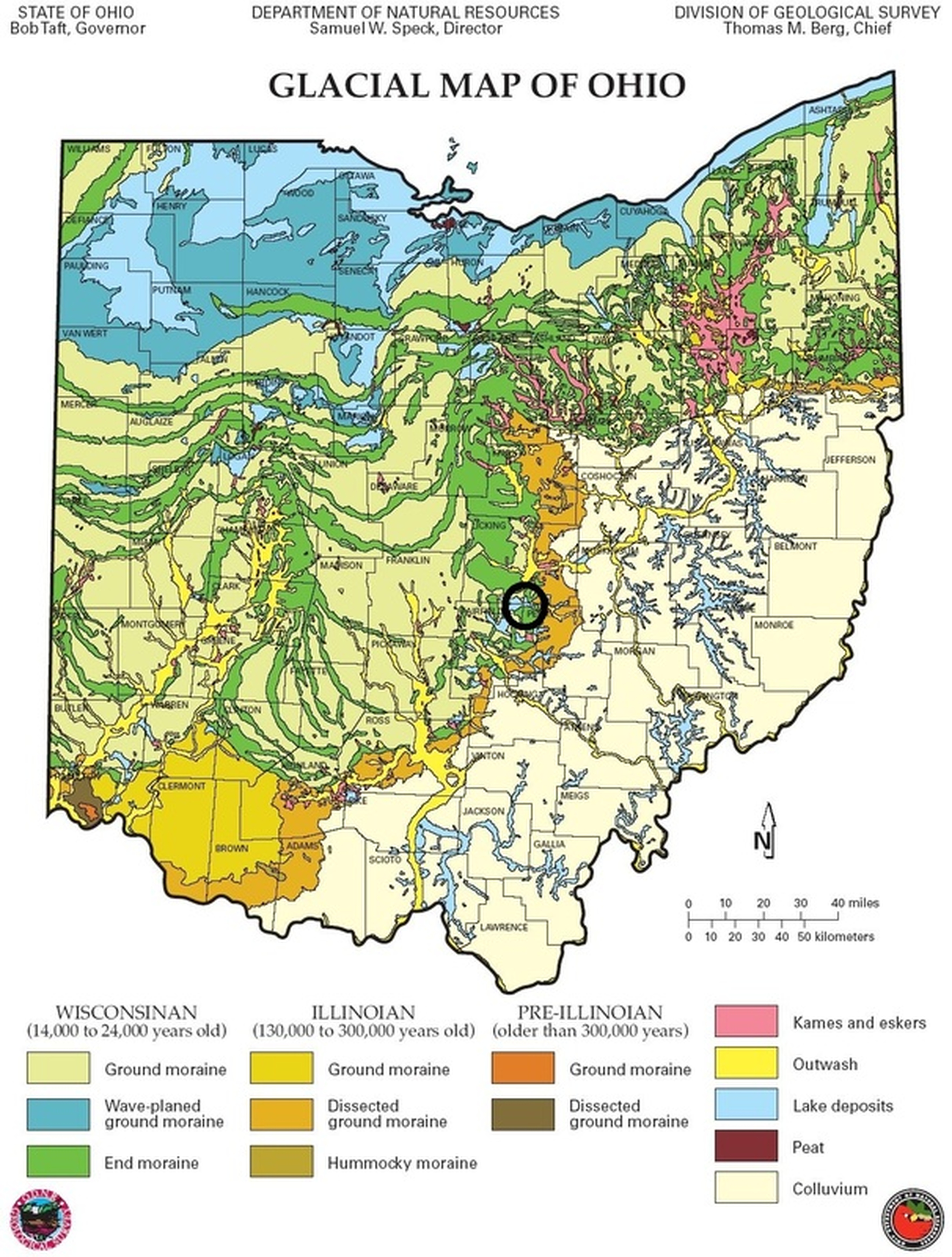
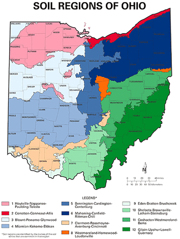
1. Political Map Political maps are used to show political borders, such as countries, states, counties, and the location of cities and capitals. There are two political maps of Ohio to the right - one which shows the counties of Ohio (we are in Hamilton County), and one which shows the major cities. What do you see in common between the two maps? 2. Physical Map Physical maps are used to show physical features of the Earth, such as mountains, valleys, forests, deserts, etc. These are the things that you could actually see from space if you were to look down at the Earth. Compare the photo of Ohio from space to the physical map. 3. Road Map The main purpose of this map is to show highways, interstates and local roads. (This is what you would have used to find your way around before GPS was invented). 4. Population Map The purpose of this map is to show the density of the population (how many people live in each area). In the map to the right, the color red shows areas of high population. Compare this population map to the political map above - name the Ohio cities which are showing areas of high population on the map. 5. Maps for Specific Purposes Many maps are created for specific purposes, such as showing soil regions, the religions people practice, historical maps, etc. The key to reading ALL maps is to look closely at the title, and the map key. |
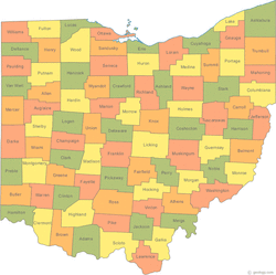
Political Map of Ohio

Political map of Ohio
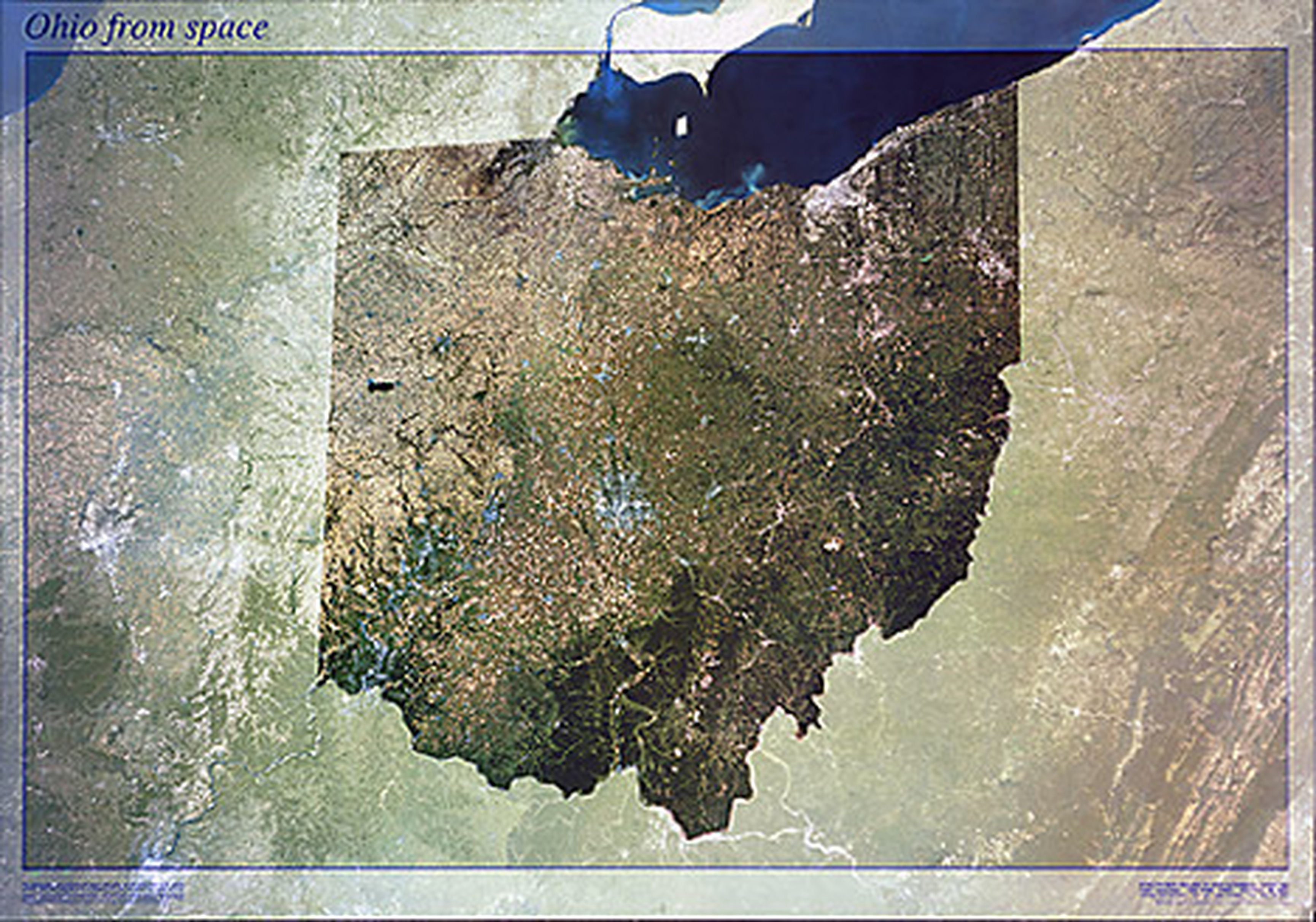
View of Ohio from Space
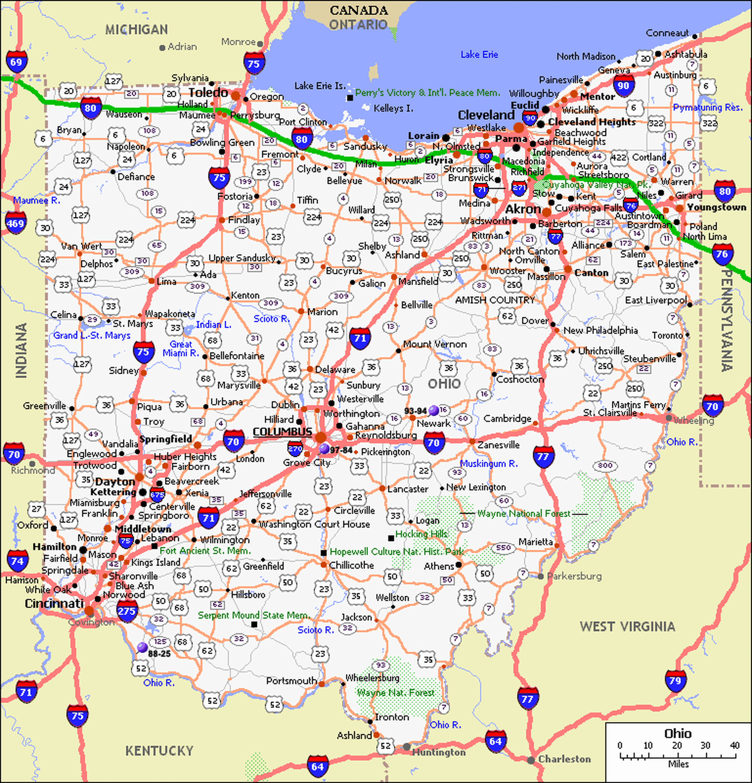
Road Map of Ohio
|
